Last Updated on February 27, 2015 4:25 pm
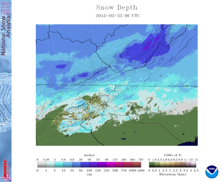
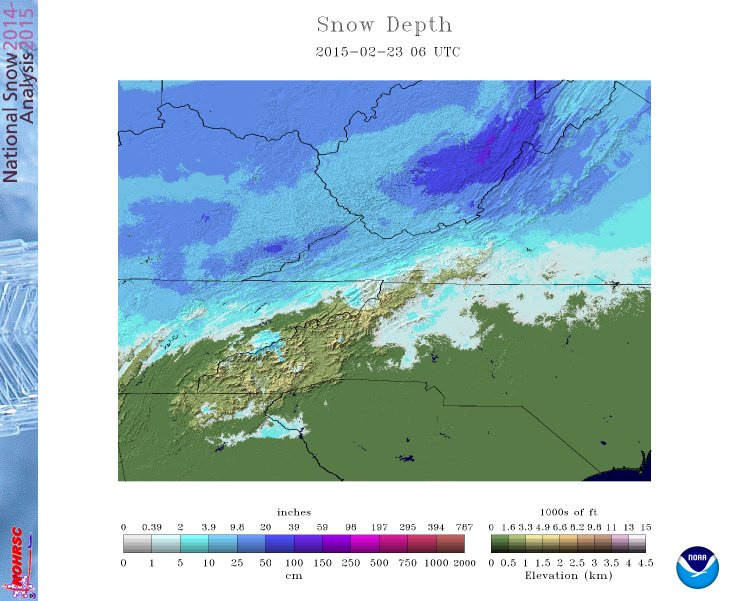
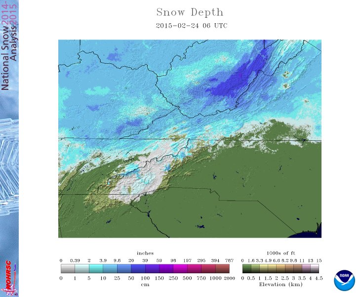
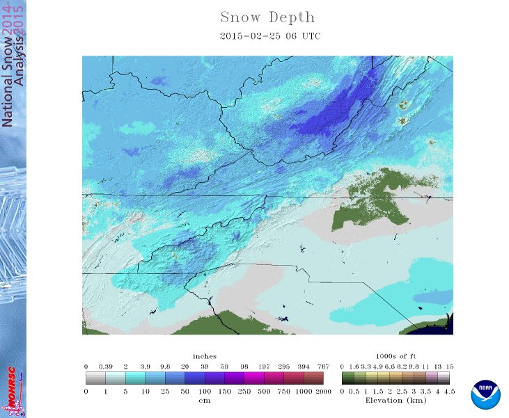
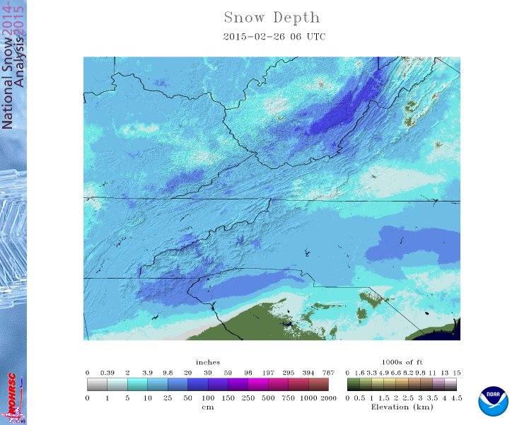
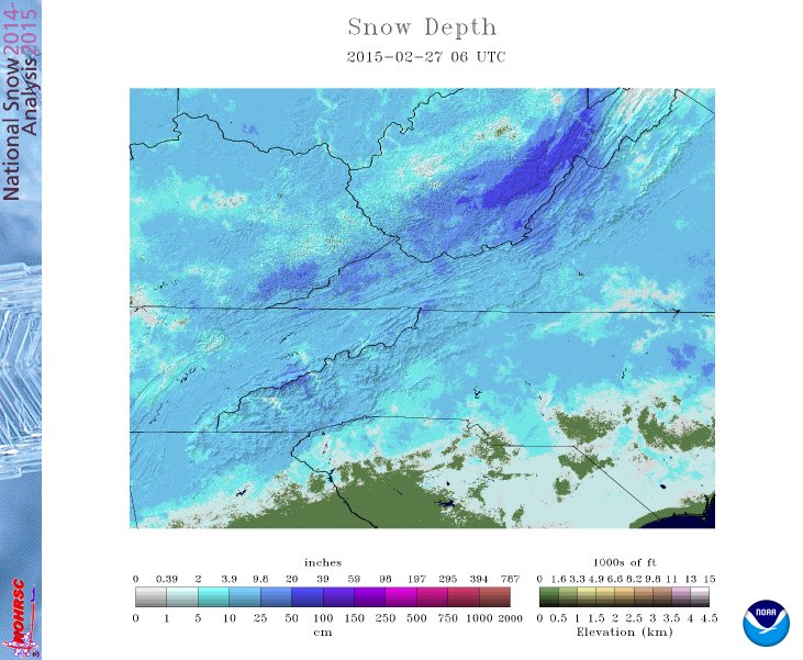
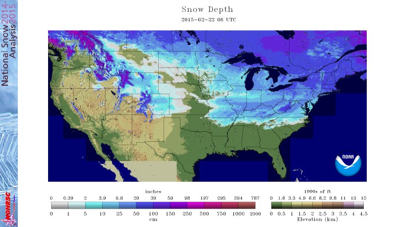
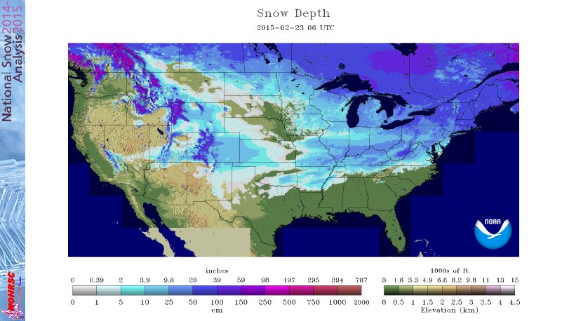
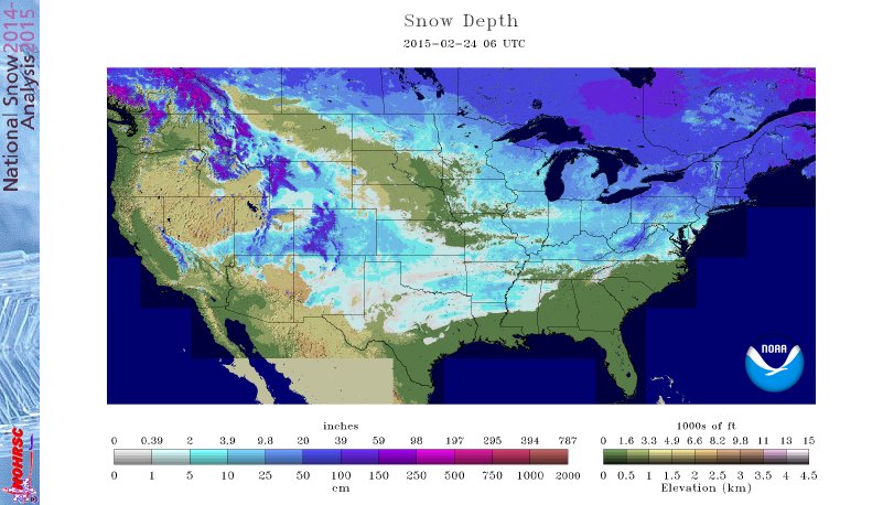
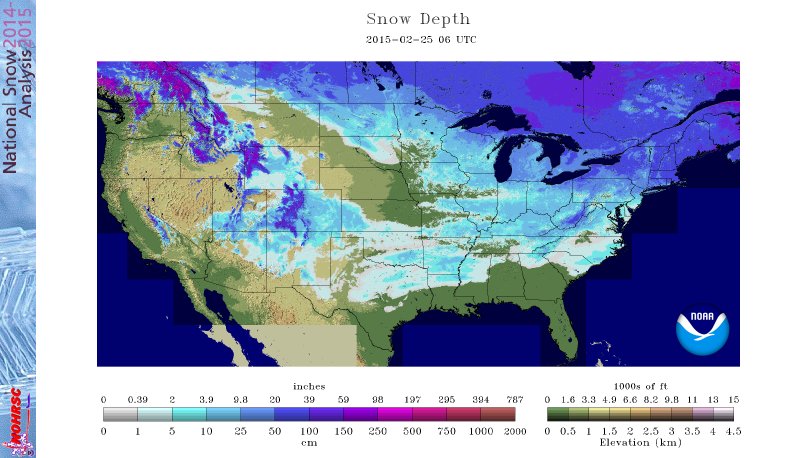
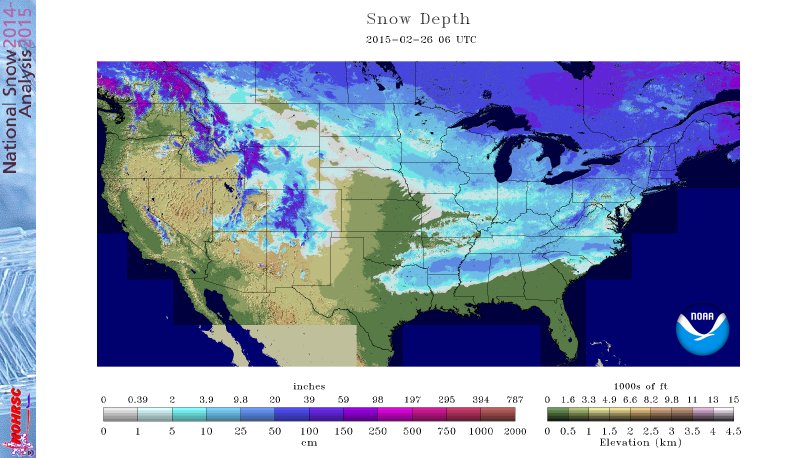
After a relative quiet first half of winter, February has made up for the lack of snowfall initially. Below are snowfall measurements and graphics showing snowfall depth for the three recent snowfall events in Watauga.
Unofficial snowfall observations reported by the National Weather Service during the snow ending Sunday Feb 22.
…WATAUGA COUNTY…
3 NE FOSCOE 2.0
BOONE 1.8
1 SSE VALLE CRUCIS 1.0
1 NNW BOONE 0.3
Unofficial snowfall observations reported by the National Weather Service during the storm on Tuesday Feb 24.
…WATAUGA COUNTY…
BLOWING ROCK 5.0
DEEP GAP 4.0
TODD 4.0
VALLE CRUCIS 3.0
BOONE 3.0
1 SE BEECH MOUNTAIN 2.8
4 W BLOWING ROCK 2.0
Unofficial snowfall observations reported by the National Weather Service during the storm on Wednesday night Feb 25/Thursday morning Feb 26.
…WATAUGA COUNTY…
1 W AHO 8.0
DEEP GAP 7.0
BOONE 7.0
4 W BLOWING ROCK 6.5
RUTHERWOOD 6.0
TODD 6.0
1 WSW FOSCOE 5.0
2 E VALLE CRUCIS 5.0
8 W BOONE 5.0
2 W BOONE 4.5
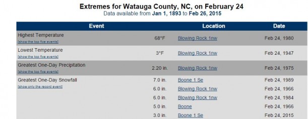
3 inches of snow in Boone became the 5th most for a February 24. Graphic: State Climate Office
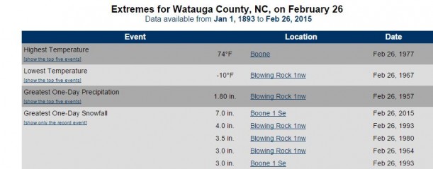
7 inches in Boone on February 26 became the most for both the town and the county for that date. Graphic: State Climate Office
Graphics: National Weather Service
Snow depth slide show


