


Last Updated on June 17, 2025 7:11 pm
NCZ001-018-172330-
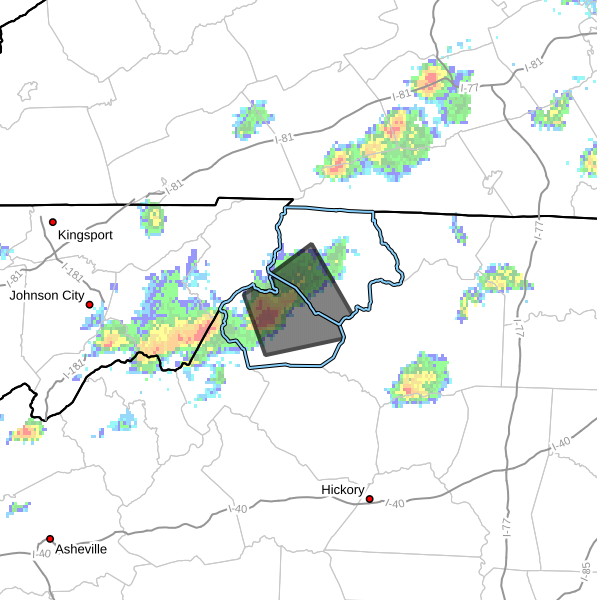
Ashe NC-Watauga NC-
706 PM EDT Tue Jun 17 2025
…A STRONG THUNDERSTORM WILL IMPACT CENTRAL WATAUGA AND
SOUTHWESTERN ASHE COUNTIES THROUGH 730 PM EDT…
At 705 PM EDT, Doppler radar was tracking a strong thunderstorm over
Lovill, or near Sugar Grove, moving east at 20 mph.
HAZARD…Wind gusts up to 40 mph and pea size hail.
SOURCE…Radar indicated.
IMPACT…Gusty winds could knock down tree limbs and blow around
unsecured objects.
Locations impacted include…
Boone…
Sugar Grove…
Deep Gap…
Todd…
Ashland…
Rutherwood…
and Trout.
PRECAUTIONARY/PREPAREDNESS ACTIONS…
If outdoors, consider seeking shelter inside a building.
Locally heavy rain will quickly reduce visibility and result in
ponding of water on roadways, standing water in low lying areas, and
minor flooding of creeks, streams, and areas of poor drainage.
Drivers are urged to slow down and use extra caution to avoid
hydroplaning.


