Last Updated on July 5, 2024 3:41 pm
NCC189-060030-
/O.NEW.KRNK.FF.W.0014.240705T1827Z-240706T0030Z/
/00000.0.ER.000000T0000Z.000000T0000Z.000000T0000Z.OO/
BULLETIN – EAS ACTIVATION REQUESTED
Flash Flood Warning
National Weather Service Blacksburg VA
227 PM EDT Fri Jul 5 2024
The National Weather Service in Blacksburg has issued a
* Flash Flood Warning for…
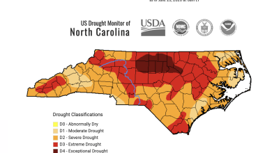
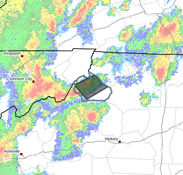
Central Watauga County in northwestern North Carolina…
* Until 830 PM EDT Friday.
* At 227 PM EDT, Doppler radar indicated thunderstorms producing
heavy rain across the warned area. Between 1.5 and 2.5 inches of
rain have fallen. The expected rainfall rate is 2 to 4 inches in 1
hour. Additional rainfall amounts of 1 to 2 inches are possible in
the warned area. Flash flooding is ongoing or expected to begin
shortly.
HAZARD…Life threatening flash flooding. Thunderstorms
producing flash flooding.
SOURCE…Radar.
IMPACT…Life threatening flash flooding of creeks and streams,
urban areas, highways, streets and underpasses.
* Some locations that will experience flash flooding include…
Boone… Sugar Grove…
Foscoe… Todd…
Lovill… Silverstone…
Meat Camp…
This includes the following locations…
Appalachian State University.
This includes the following streams and drainages…
Dutch Creek, Beaverdam Creek, Cove Creek, Brushy Fork, Craborchard
Creek, Elk Creek, Kirby Branch, George Gap Branch, Beech Creek,
Laurel Creek, Hoskin Fork, Laurel Branch and Grassy Creek.
PRECAUTIONARY/PREPAREDNESS ACTIONS…
Turn around, don't drown when encountering flooded roads. Most flood
deaths occur in vehicles.
When it is safe to do so, please send your reports of flooding,
including mudslides or flooded roads, to the National Weather
Service by calling toll free at 1…8 6 6…2 1 5…4 3 2 4. Reports
and pictures can also be shared on the National Weather Service
Blacksburg Facebook page and on Twitter.