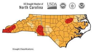
Last Updated on February 22, 2026 1:44 pm
Low pressure will pass over the region today with rain changing to snow across the higher elevations. Arrival of colder air Sunday along with the development of a strong winter storm along the Mid-Atlantic coast will result in an extended period of snow showers and blustery winds across the mountains Sunday night through Monday night.
NCZ001-018-VAZ009-015-221445-
/O.UPG.KRNK.WW.Y.0009.000000T0000Z-260224T0500Z/
/O.EXB.KRNK.WS.W.0004.000000T0000Z-260224T0500Z/
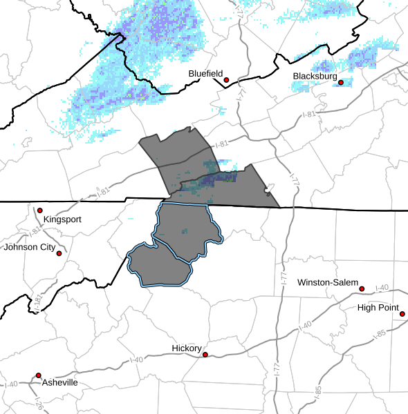
Ashe-Watauga-Smyth-Grayson-
Including the cities of Independence, Marion, Troutdale, Boone,
West Jefferson, Volney, and Whitetop
137 AM EST Sun Feb 22 2026
…WINTER STORM WARNING IN EFFECT UNTIL MIDNIGHT EST MONDAY NIGHT
MAINLY FOR ELEVATIONS ABOVE 3500 FEET…
- WHAT…Heavy snow Mainly for elevations above 3500 Feet. Total
snow accumulations up to 7 inches. Winds gusting as high as 50 mph. - WHERE…In North Carolina, Ashe and Watauga Counties. In Virginia,
Grayson and Smyth Counties. - WHEN…Until midnight EST Monday Night.
- IMPACTS…Roads, and especially bridges and overpasses, will
likely become slick and hazardous. Visibilities may drop below 1/4
mile due to falling and blowing snow. Travel could be very
difficult. The hazardous conditions could impact the Monday
morning and evening commutes. Gusty winds could bring down tree
branches.
PRECAUTIONARY/PREPAREDNESS ACTIONS…
If you must travel, keep an extra flashlight, food, and water in
your vehicle in case of an emergency. The latest road conditions for
the state you are calling from can be obtained by calling 5 1 1.
Persons should consider delaying all travel. Motorists should use
extreme caution if travel is absolutely necessary.