


Last Updated on November 20, 2019 5:58 pm
FOR AN UPDATE ON THURSDAY'S WEATHER VISIT THIS LINK
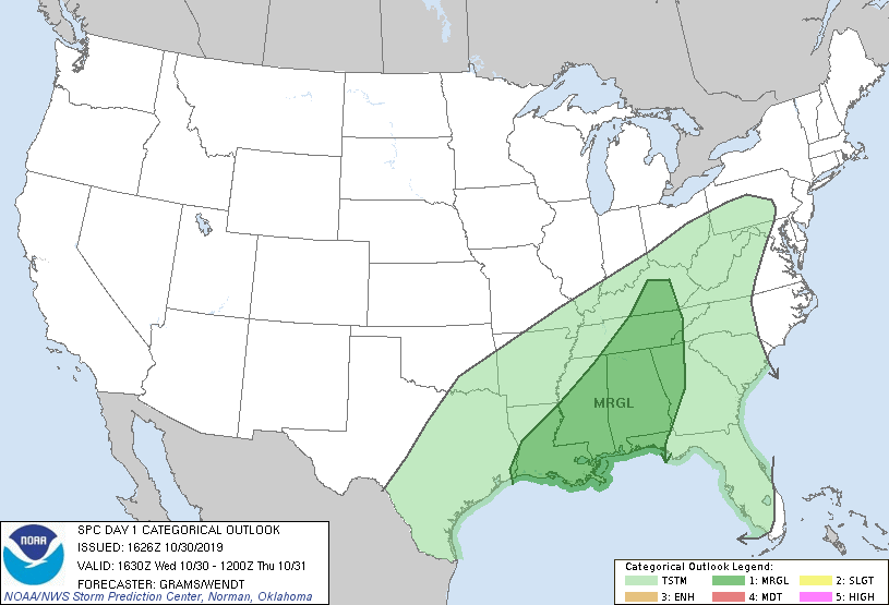
Wedneseday October 30 Updates – The High Country is now under a slight risk for severe weather on Thursday. Below is a video update from the National Weather Service along with update maps showing the risk for the rest of Wednesday and Thursday.


An incoming cold front will not only bring rain to the area but also the chance for severe weather.
According to a National Weather Service briefing on Tuesday night, “Rainfall could become heavy at times during Wednesday night through Thursday night. Total QPF (Quantitative Precipitation Forecast. A spatial and temporal precipitation forecast that will predict the potential amount of future precipitation for a specified region, or area.) ranges from one to three inches in general, but locally higher amounts of four or more inches will not be out of the question along the southern Blue Ridge from Boone, NC to Meadows of Dan, VA”
Also according to the National Weather Service on Tuesday night, “Gusty winds are expected during Thursday and Friday due to a cold front crossing overhead. This front will provide showers with isolated thunderstorms that may pose a marginal risk of severe weather from damaging winds. Locally heavy rainfall will also be possible.”
Wind gusts are forecast to be up to 25 mph on Wednesday, 40 mph on Thursday and 45 mph on Thursday night.
The front will drop daytime high temperatures into the 40s on Friday, marking as much as a 20-degree plus difference between Thursday and Friday.
Lows are forecast to drop into the lower 30s on Thursday night and remain there each night before possibly hitting close to 30 on Sunday night.


