Last Updated on September 26, 2024 6:13 am
NCC009-189-261615-
/O.NEW.KRNK.FA.W.0034.240926T1010Z-240926T1615Z/
/00000.0.ER.000000T0000Z.000000T0000Z.000000T0000Z.OO/
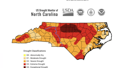
Ashe NC-Watauga NC-
610 AM EDT Thu Sep 26 2024
…FLOOD WARNING IN EFFECT UNTIL 1215 PM EDT THIS AFTERNOON…
- WHAT…Flooding caused by excessive rainfall is expected.
- WHERE…A portion of northwest North Carolina, including the
following counties, Ashe and Watauga. - WHEN…Until 1215 PM EDT Thursday.
- IMPACTS…Flooding of rivers, creeks, streams, and other low-lying
and flood-prone locations is imminent or occurring. Streams
continue to rise due to excess runoff from earlier rainfall.
Expect many areas of slow moving or standing water. - ADDITIONAL DETAILS…
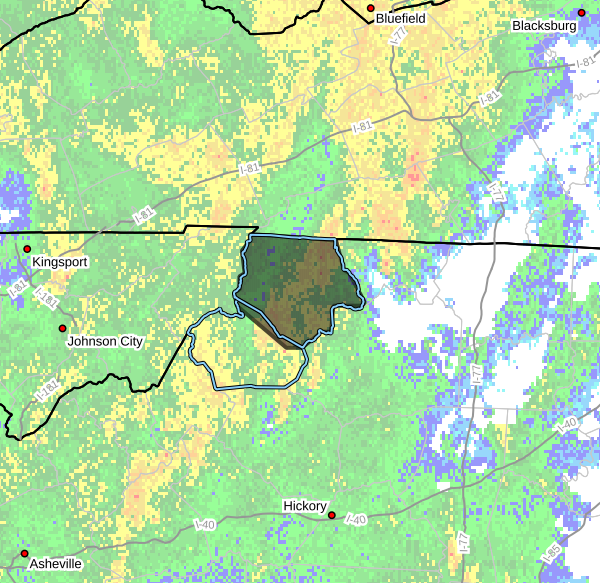
- At 610 AM EDT, Doppler radar indicated heavy rain due to
thunderstorms. Flooding is ongoing or expected to begin
shortly in the warned area. Between 2 and 3 inches of rain
have fallen. - Some locations that will experience flooding include…
Jefferson, West Jefferson, Lansing, Ashland, Glendale
Springs, Todd and Deep Gap. - http://www.weather.gov/safety/flood
PRECAUTIONARY/PREPAREDNESS ACTIONS…
Turn around, don't drown when encountering flooded roads. Most flood
deaths occur in vehicles.
When it is safe to do so, please send your reports of flooding,
including mudslides or flooded roads, to the National Weather
Service by calling toll free at 1…8 6 6…2 1 5…4 3 2 4. Reports
and pictures can also be shared on the National Weather Service
Blacksburg Facebook page and on Twitter.