
Last Updated on March 18, 2018 12:23 pm
Update Tuesday March 20 5:20 am – A Winter Storm Warning has been issued from midnight through Thursday. More information at this link.
Update Monday March 19 3:53pm – A Winter Storm Watch has been issued for the High Country from Tuesday night into Wednesday. See this link for more information.
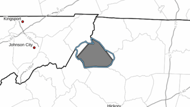
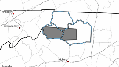
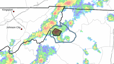
Update Monday March 19, 2018 – According to the National Weather Service: Snow is expected Tuesday night and Wednesday. Snow amounts may reach advisory levels of 2-4 inches at many locations during this time frame, with warning criteria snow of 5-6 inches possible at the higher elevations, especially from western Greenbrier County West Virginia down through eastern Tazewell and Bland counties in Virginia , as well as Grayson County Virginia down to Ashe and Watauga Counties in North Carolina.
Northwest winds may reach advisory levels as well behind the winter storm system as it moves northeast of the area Wednesday night and Thursday.
The up and down March weather is forecast to once again turn toward the winter side during the early part of the week.
The National Weather Service says a complex storm system may bring accumulating snow to the area Tuesday night and Wednesday.
In a Sunday update, NWS says that there is great deal of uncertainty as it pertains to snow accumulations. Elevation changes, marginal temperatures and time-of-day are among other considerations in the snow or rain setup.
Cooler air is projected to arrive Tuesday night changing rain over to wet snow in the Blue Ridge mountains. NWS adds that rain on Wednesday may mix over to wet snow even in lower elevations pending surface temperatures. It is possible that the High Country could fall under a winter weather advisory criteria.
WataugaOnline.com will update as the storm situation becomes clearer on Monday and Tuesday.