Last Updated on November 30, 2020 4:35 am
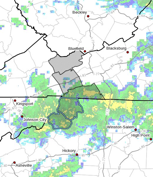
…ACCUMULATING SNOW AND WINDY CONDITIONS TO IMPACT THE MOUNTAINS… .A strong storm system will move across the area today, ushering in much colder air this afternoon through Tuesday. Mountain snows will occur thanks to the upper level system moving across especially tonight into Tuesday. West to northwest winds will also increase leading to blowing snow at times.
NCZ001-018-VAZ007-009-015-301645-
/O.NEW.KRNK.WW.Y.0011.201130T1800Z-201201T2100Z/
Ashe-Watauga-Tazewell-Smyth-Grayson-
Including the cities of West Jefferson, Boone, Tazewell, Marion,
Independence, Whitetop, Troutdale, and Volney
343 AM EST Mon Nov 30 2020
…WINTER WEATHER ADVISORY IN EFFECT FROM 1 PM THIS AFTERNOON TO
4 PM EST TUESDAY…
- WHAT…Snow and blowing snow expected. Total snow accumulations
of up to 4 inches at the higher elevations, with an inch or two
elsewhere. Winds gusting as high as 40 mph. - WHERE…In Virginia, Tazewell, Smyth and Grayson Counties. In
North Carolina, Ashe and Watauga Counties. - WHEN…From 1 PM this afternoon to 4 PM EST Tuesday.
- IMPACTS…Plan on slippery road conditions. The hazardous
conditions could impact the morning or evening commute. - ADDITIONAL DETAILS…Blustery winds will create blowing snow
Monday night into Tuesday, which will reduce visibility at
times.
PRECAUTIONARY/PREPAREDNESS ACTIONS…
A Winter Weather Advisory for snow means that periods of snow
will cause travel difficulties. Be prepared for snow covered roads
and limited visibilities…and use caution while driving.
The latest road conditions for the state you are calling from can
be obtained by calling 5 1 1.