


Last Updated on February 13, 2022 9:03 am
Sunday March 25 Updates
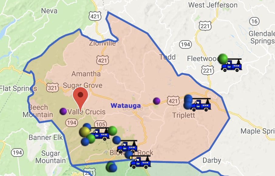
7:28am Work continues on restoring power across the county. 152 Blue Ridge Energy members remain without power as of 7:28am.
Winter Storm Warning is cancelled as early Sunday morning.
Video update from Rose Eiklor – News 14 Charlotte
Updates from the Twitter feed. Use the slider bar to view more tweets.
Tweets by @WataugaRoads
4:25 pm Saturday March 24 Storm Update – We are not out of the woods yet as attention shifts from snow to ice. In a Saturday afternoon update NWS says, “Other area that is concerning is the NC High Country, with the potential for notable freezing rain accumulations. As the surface low progresses southeast tonight, further warming aloft will support freezing rain with surface temperatures likely remaining sub-freezing.”
Winter Storm Warnings will remain in effect until Sunday at noon due to the wintry mix of weather.
Special Weather Statement
National Weather Service Blacksburg VA
458 PM EDT Sat Mar 24 2018
NCZ001-018-VAZ007-009>017-WVZ042-242300-
Ashe-Watauga-Tazewell-Smyth-Bland-Giles-Wythe-Pulaski-Montgomery-
Grayson-Carroll-Floyd-Mercer-
Including the cities of West Jefferson, Boone, Tazewell, Marion,
Bland, Pearisburg, Wytheville, Radford, Pulaski, Blacksburg,
Independence, Whitetop, Troutdale, Volney, Galax, Floyd,
Bluefield, and Flat Top
458 PM EDT Sat Mar 24 2018
… Moderate to heavier snow bands will continue through 7 pm…
Snow will persist through the afternoon, with occasional bands of
moderate to heavy snow, falling from southern West Virginia, south
through the New River Valley and Mountain Empire, to the North
Carolina High Country. Some sleet may also occur across the North
Carolina mountains into far Southwest Virginia. During the heavier
bands, a quick inch or two of snow may accumulate in less than an
hour, causing low visibility and poor driving conditions. Those
traveling along I-81 from Roanoke to Bristol, or I-77 south of
Beckley to Dobson, NC need to be aware of poor driving conditions
and watch for possible slowed or stopped vehicles. Drivers should
allow extra time to reach their destination on snow covered roads.
National Weather Service BLACKSBURG VA
453 PM EDT Saturday March 24 2018
The following are unofficial observations taken during the past 8
hours for the storm that has been affecting our region.
********************STORM TOTAL SNOWFALL********************
LOCATION STORM TOTAL TIME/DATE COMMENTS
SNOWFALL OF
/INCHES/ MEASUREMENT
…Watauga County…
Valle Crucis 5.0 1100 AM 3/24 CoCoRaHS
2 W Boone 3.6 100 PM 3/24 Trained Spotter
1 E Lovill 3.5 1130 AM 3/24 Social Media
1 SE Boone 3.0 1100 AM 3/24 Social Media
3 W Blowing Rock 3.0 1130 AM 3/24 Trained Spotter
Blowing Rock 3.0 1110 AM 3/24 Social Media
2 NNW Boone 3.0 415 PM 3/24 Howards Knob.
1 SSE Valle Crucis 2.2 1030 AM 3/24 Trained Spotter
Seven Devils 2.0 1002 AM 3/24 At 4000 feet.
2 ENE Peoria 1.0 945 AM 3/24 Trained Spotter
1 SE Rutherwood 0.5 920 AM 3/24 CoCoRaHS
…Alleghany County…
2 E Glade Valley 3.0 300 PM 3/24 Trained Spotter
Ennice 3.0 345 PM 3/24 Mixing with sleet.
Sparta 2.0 110 PM 3/24 Trained Spotter
…Ashe County…
1 SW Baldwin 4.0 1200 PM 3/24 Trained Spotter
1 N Fleetwood 2.0 1030 AM 3/24 Public
Transou 1.7 1200 PM 3/24 Co-Op Observer
2 SW Ashland 1.7 1030 AM 3/24 CoCoRaHS
1 W Wagoner 1.5 1100 AM 3/24 CoCoRaHS


