Last Updated on June 11, 2015 4:51 pm
*With the local school systems getting out for the school year, many High Country residents will be hitting the road for summer travel plans already. No matter if you are traveling yet or not, here's a unique look at temperatures locally and nationwide through Thursday June 18,2015.
Special thanks to Pete Miramontes of Weather Forecast Weather Alerts Weather Science” for the article write up.*
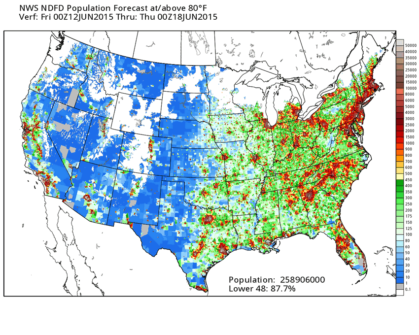
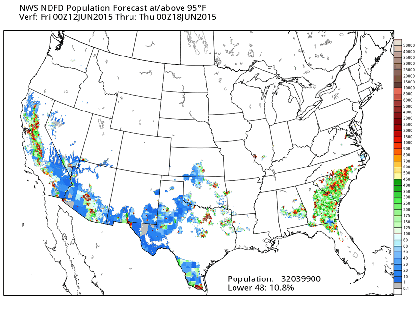
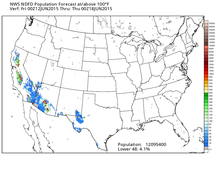
What's your heat threshold? Or do you prefer the cold? Well here's a little something different for you. The National Weather Service's NDFD or (National Digital Forecast Database) has come up with some interesting maps which give you an idea as to where certain temps will be experienced over the course of a week. As well as the population of those areas across the lower 48 who will experience those temps.
For instance, Look at the maps below. The first one shows you how much of the population in a given area will likely experience temperatures at or above 60° over the next seven days. Based on the legend to the right and the marker below the map, shows you that every location on the map will experience temps at or above 60° through the next several days. The colors on the map and the legend show you roughly how many people are located in those areas that are at or above 60°.
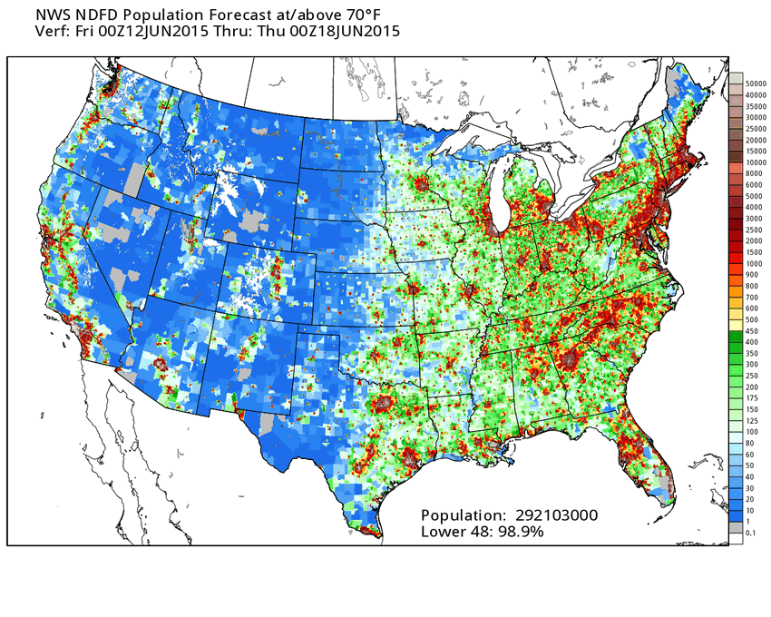
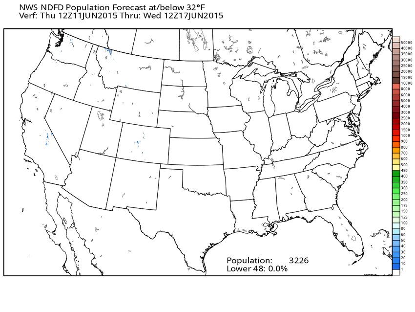
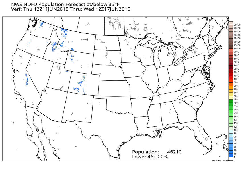
The following map then shows you the population expected to be at or above 70° over the next seven days and so on in the next maps. The percentage of the population expected to experience temps at or over 70° is a little less at 98.9%. Now, if you look at the last two maps. They show something a little different like the population that will experience cold temps at or below 32° and 35°.
You can also see those percentages are at zero across the lower 48 due to the fact that not enough people will experience temps at or below those numbers over the next several days. I hope you enjoy this little bit of weather geekiness.
Maps: WeatherBell/NWS