Last Updated on May 31, 2022 11:43 am
NCC003-023-027-035-109-262145-
/O.NEW.KGSP.TO.W.0031.220526T2057Z-220526T2145Z/
BULLETIN – EAS ACTIVATION REQUESTED
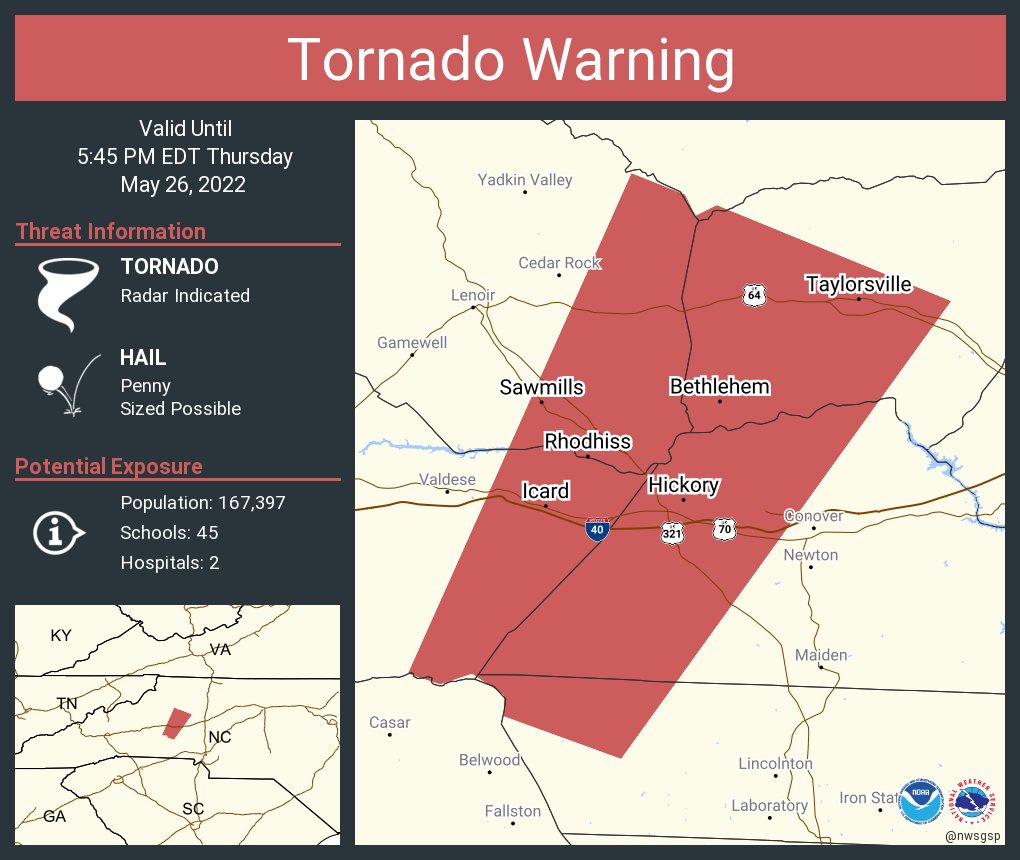
Tornado Warning
National Weather Service Greenville-Spartanburg SC
457 PM EDT Thu May 26 2022
The National Weather Service in Greenville-Spartanburg has issued a
- Tornado Warning for…
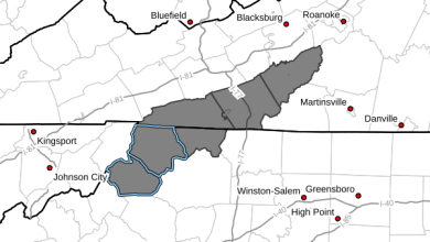
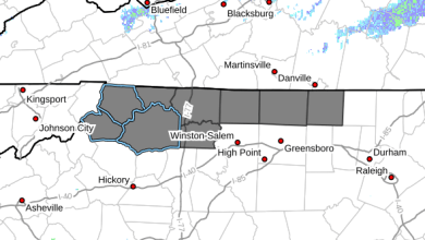
Western Catawba County in the Piedmont of North Carolina…
Western Alexander County in the Piedmont of North Carolina…
Northwestern Lincoln County in the Piedmont of North Carolina…
Southeastern Caldwell County in western North Carolina…
Southeastern Burke County in western North Carolina… - Until 545 PM EDT.
- At 457 PM EDT, a severe thunderstorm capable of producing a tornado
was located 12 miles southwest of Hickory, or 7 miles southwest of
Mountain View, moving northeast at 30 mph.
HAZARD…Tornado.
SOURCE…Radar indicated rotation.
IMPACT…Flying debris will be dangerous to those caught without
shelter. Mobile homes will be damaged or destroyed.
Damage to roofs, windows, and vehicles will occur. Tree
damage is likely.
- This dangerous storm will be near…
Connelly Springs around 510 PM EDT.
Hickory, Hickory Regional Airport, Longview, Hildebran and Icard
around 520 PM EDT.
Bethlehem, St. Stephens, Hudson and Sawmills around 530 PM EDT.
Taylorsville and Lake Hickory around 540 PM EDT.
Other locations impacted by this dangerous thunderstorm include
Northlakes, Kings Creek, Little River In Alexander County, Cooksville
and Millersville.
PRECAUTIONARY/PREPAREDNESS ACTIONS…
TAKE COVER NOW! Move to a basement or an interior room on the lowest
floor of a sturdy building. Avoid windows. If you are outdoors, in a
mobile home, or in a vehicle, move to the closest substantial shelter
and protect yourself from flying debris.
Please report damaging winds, hail, or flooding to the National
Weather Service by calling toll free, 1, 800, 2 6 7, 8 1 0 1, or by
posting on our Facebook page, or Tweet it using hashtag nwsgsp. Your
message should describe the event and the specific location where it
occurred.