Last Updated on May 9, 2019 1:18 pm
Update Saturday 6:25 am – Below is the Hazardous Weather Update from NWS for the rest of the weekend.
443 AM EDT Sat May 11 2019
This Hazardous Weather Outlook is for north central North Carolina,
northwest North Carolina, central Virginia, south central Virginia,
southwest Virginia, west central Virginia and southeast West
Virginia.
.DAY ONE…Today and tonight.
Multiple rounds of showers and storms could lead to localized
flooding or flash flooding.
.DAYS TWO THROUGH SEVEN…Sunday through Friday.
Isolated to widely scattered severe thunderstorms containing
damaging wind gusts and large hail will be possible Sunday.
In addition, multiple rounds of showers and storms could lead to
localized flooding or flash flooding through Sunday night.
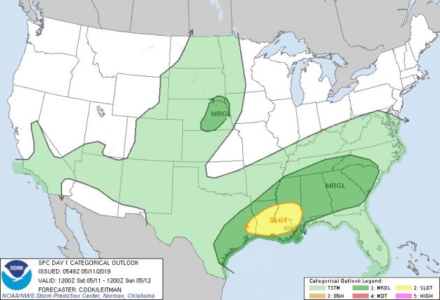
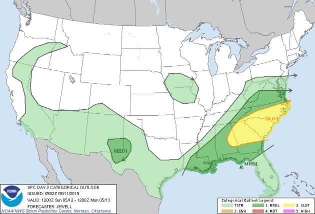
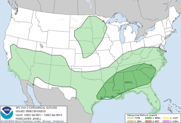
Update Saturday 3:15 am – The outlook for severe weather for Saturday, and Sunday. Graphics: NWS
UPDATE Friday 6:10 am – The severe threat for Friday is now even lower than originally forecast earlier in the week. However, NWS says that some thunderstorms may produce gusty winds this afternoon.
Also, NWS has updated the outlook for Sunday (Mother's Day) to say that isolated to scattered severe thunderstorms containing damaging wind gusts and large hail will be possible. In addition, multiple rounds of showers and storms could lead to localized flooding or flash flooding Saturday through Sunday night.
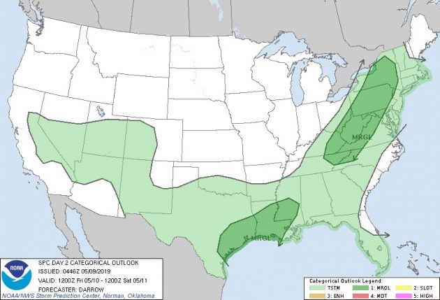
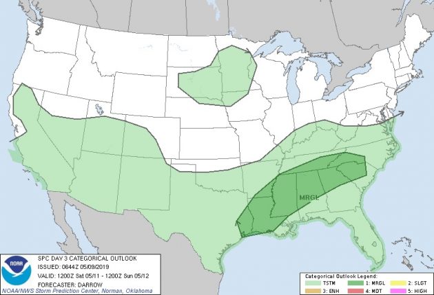
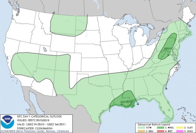
The outlook for severe weather for Friday, Saturday, and Sunday. Graphics: NWS
Another wet weekend is on tap for the High Country, with the possibility of localized flooding.
The National Weather Service (NWS) says in a Thursday briefing that scattered thunderstorms are expected Friday and a few of these storms could bring isolated damaging wind gusts and hail.
Saturday through Sunday night, multiple rounds of heavier showers and storms could lead to localized flash flooding, NWS also notes.
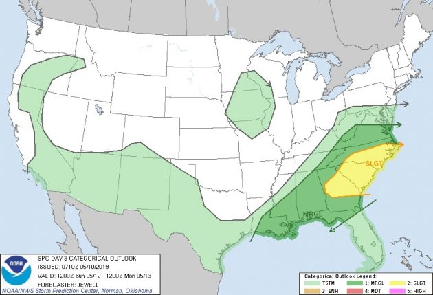
The outlook for severe weather for Friday and Saturday. Graphics: NWS