Last Updated on March 6, 2018 9:24 pm
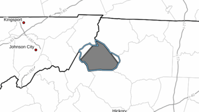
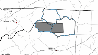
SPSRNK from Tuesday 3/6/2018 9:16 PM to Wednesday 3/7/2018 12:15 AM EST for Watauga County, Ashe County, Wilkes County: Fog will limit visibilities.
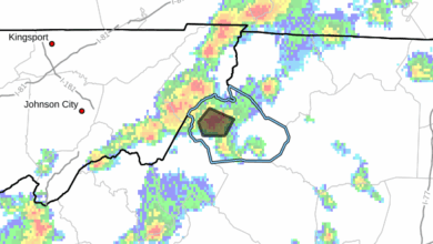
Radar valid at 919 pm EST, Mar 6th 2018
NCZ001>003-018-019-VAZ015>017-032-070515-
Ashe-Alleghany NC-Surry-Watauga-Wilkes-Grayson-Carroll-Floyd-
Patrick-
Including the cities of West Jefferson, Sparta, Dobson, Boone,
Wilkesboro, Independence, Whitetop, Troutdale, Volney, Galax,
Floyd, and Stuart
916 PM EST Tue Mar 6 2018
Ashe-Alleghany NC-Surry-Watauga-Wilkes-Grayson-Carroll-Floyd-
Patrick-
Including the cities of West Jefferson, Sparta, Dobson, Boone,
Wilkesboro, Independence, Whitetop, Troutdale, Volney, Galax,
Floyd, and Stuart
916 PM EST Tue Mar 6 2018
…Foggy along the Ridges…
Fog will limit visibilities along the Blue Ridge from North
Carolina into the Floyd County area through midnight. Those
traveling across these areas, especially I-77 from Dobson NC to
Hillsville will need to be alert to low visibilities and slow
down.
Other highways affected include the Blue Ridge Parkway from
Blowing Rock to south of Roanoke, 421 and 321 from the Tennessee
border to Boone, then east to the foothills, and 221 from Deep Gap
to Twin Oaks.


