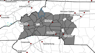
Last Updated on September 9, 2022 1:30 am
NOAA-NWS-ALERTS-NC12640C19DD40.SpecialWeatherStatement.12640C1AEA00NC.RNKSPSRNK.5139838c80b0557b3adcf38a02e7a685
w-nws.webmaster@noaa.gov
2022-09-09T01:12:00-04:00
Actual
Alert
Public
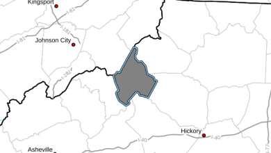
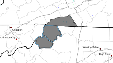
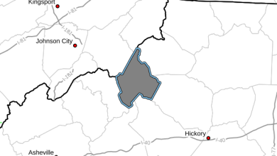
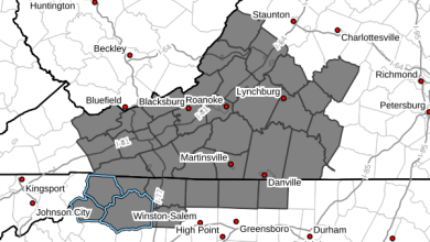
Alert for Alleghany; Ashe; Watauga (North Carolina) Issued by the National Weather Service
Met
Special Weather Statement
Expected
Minor
Observed
SAME
SPS
2022-09-09T01:12:00-04:00
2022-09-09T08:00:00-04:00
NWS Blacksburg (Southwest Virginia)
Special Weather Statement issued September 09 at 1:12AM EDT by NWS Blacksburg
…Areas of Dense Fog Likely Across the Higher Mountainous
Terrain…
A moist easterly flow has resulted in widespread low clouds early
this morning. Across the higher terrain for areas along and west
of the Blue Ridge, these low clouds are intersecting the ground
for elevations generally at or above 2500 ft. resulting in dense
fog. Visibilities in these areas will drop to 1/4 mile or less and
remain so throughout the night and early morning hours Friday.
Motorists planning travel across the higher terrain of the
mountains in northwest North Carolina, southwest and west central
Virginia, or southeast West Virginia, should be alert for severely
reduced visibility at the higher elevations. Reduce speed, use low
beam headlights, and leave extra distance between you and the
vehicle in front of you.
Some of the more traveled roadways that will be impacted include:
Interstate 77 in Virginia and West Virginia,
Interstate 81 mile markers 35 to 120 in Virginia,
U.S. 58 west of Stuart,
U.S. 52 through Carroll and Grayson Counties.
WMOHEADER
UGC
NCZ001-002-018-VAZ007-009>020-022>024-WVZ042>044-507-508
VTEC
TIME…MOT…LOC
Alleghany; Ashe; WataugaFIPS6
037005
FIPS6
037009
FIPS6
037189
UGC
NCZ001
UGC
NCZ002
UGC
NCZ018


