Last Updated on October 2, 2022 5:21 pm
For the 4th time since September 30 the High Country is in position to get snow.
Snow reports – got the first report via twitter of some flakes in Boone at 12:10pm
Here's the round up from online about what could what happen.
National Weather Service has issued a Winter Weather Advisory until 6am Wednesday morning, 2 to 4 inches possible. They are also forecasting a 60% chance of rain and snow today, 70% tonight . Snow is expected to start falling this afternoon.
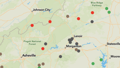
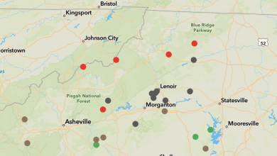
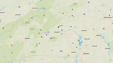
Brad Panovich via twitter tweets “Updated snowfall forecast for the mountains, this is where it will actually stick.”
He also passes along that “The Ridge tops of Western NC will see good 2-4″ snowfall with 1-3″ in the valleys. Most will melt on contact with the warm ground in the valleys though.”
Here's a video that Brad posted around 12:10pm today
John L'Heureux of L'Heureux's Weather forecast “Moisture content has increased but it will be hard for much snow to stick to the water saturated surface we have right now.
Tuesday mid-morning through Tuesday night, the snow coming in is very elevation dependent. Snow will start this afternoon and initially will be all graupel (graupel looks like tiny foam balls). Moderate snow showers continue into tonight. Western AND eastern slopes are about equal for snow chances, although higher peaks farther south will luck out with more snow.
The denser nature of the snow will keep snow totals down.
Please report any cases of “thunder” if they occur this evening. The atmospheric conditions are very marginal to support a thundersnow event.
Snowfall amounts: Boone and everyone below 3500′ – a dusting to 1/2″
3500′ – 4500” – a dusting to 1″
Above 4500′ – 1-2″ (2″+ for highest elevations).”


