Last Updated on February 5, 2016 8:39 pm
Updated Saturday night February 6, 2016
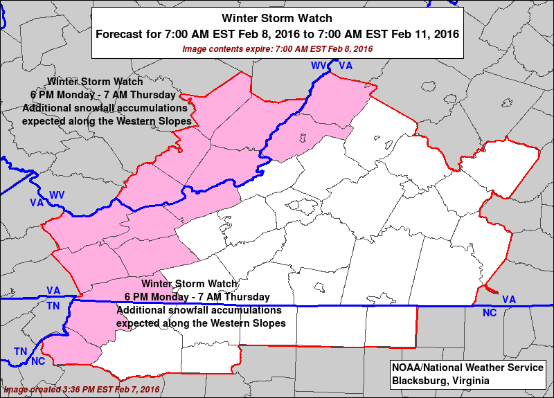
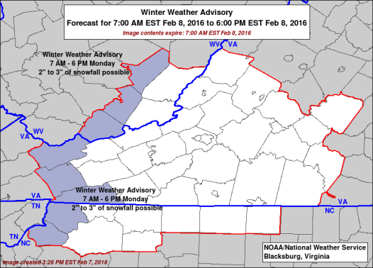
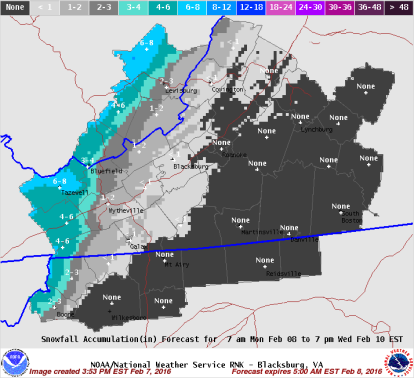
It appears more likely that High Country motorists will have to deal with winter weather for the second week of February 2016. On Saturday night the National Weather Service updated forecast says that moderate snow accumulation is possible Monday. In a weather briefing, also from Saturday night, NWS stated that from Monday evening through most of Tuesday “the upslope snow machine will be humming at full power”, winter weather watches are likely to be issued.
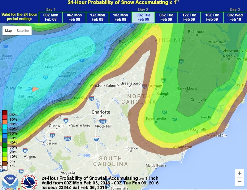
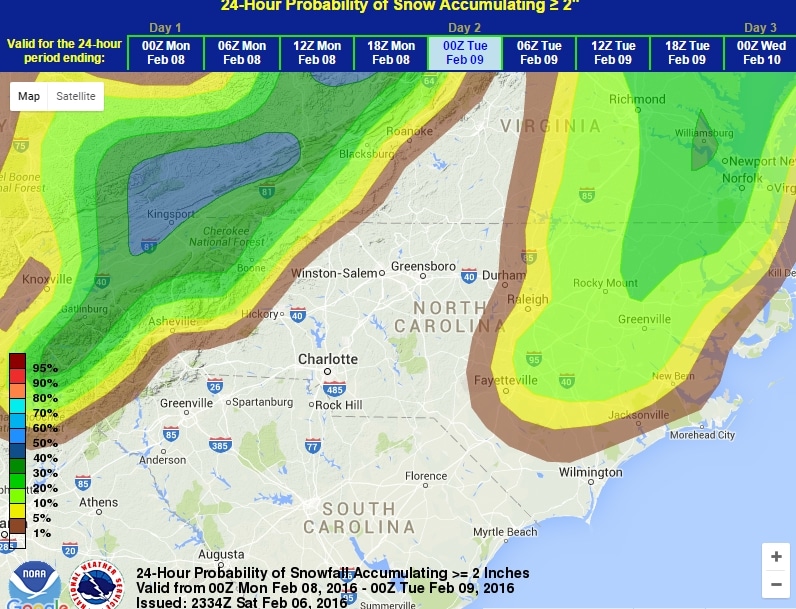
24-Hour Probability of Snow Accumulating as of Saturday night. Probabilities are subject to change. Graphics: NWS
Chances 7pm Sunday to 7pm Monday for 1 inch and 2 inches
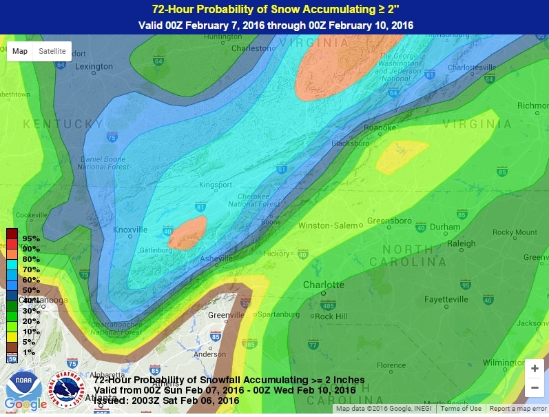
72-Hour Probability of Snow Accumulating ≥ 2″ through Wednesday.
Friday night February 5 original article
High Country motorists could be in line to deal with the first winter weather of February starting next week. The National Weather Service forecast on Friday that snow could begin after midnight on Sunday and continuing through Tuesday night.
Brad Panovich, Chief Meteorologist for NBC Charlotte, posted on Friday “It’s way too early to even talk about amounts, but it’s a safe bet the mountains could see a prolonged northwest flow snow event. Which means the confidence in those areas seeing accumulating snows is fairly high right now.”
Saturday morning Weather VLOG: 2/6/2016Saturday morning Weather VLOG: The cold air has arrived now we wait for a potential coastal storm to develop tonight into Sunday. This might miss up to the east but a secondary storms might get us Monday into Tuesday. #ncwx #scwx #cltwx #snOMG
Posted by Brad Panovich Meteorologist on Saturday, February 6, 2016
24-Hour Probability of Snow Accumulating as of Saturday night. Probabilities are subject to change. Graphics: NWS
Chances 7pm Sunday to 7pm Monday for 1 inch and 2 inches


