Last Updated on May 11, 2015 6:39 pm
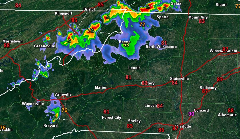
A series of storms that moved through Watauga County late Monday afternoon prompted the National Weather Service to issue Flash Flood Warnings for the southern portion of the county from 4:47pm until 7:45pm. Meanwhile the northern portion of the county was under a Flash Flood Advisory from 5:07pm until 7pm.
During the duration of the storms, there were no incoming reports of flooding in Watauga. In Banner Elk, in Avery County, at the police station a section of road was closed due to high water, according to the National Weather Service.
Flash flooding in banner elk – this is usually a trickling creek… @wxbrad @WataugaRoads pic.twitter.com/sK2GwDfFxN
— Scott Huffard (@shuffard) May 11, 2015
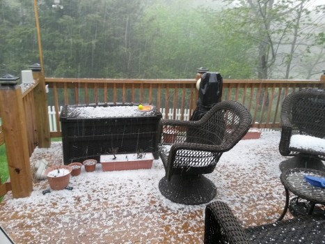
Below are some hail videos and pictures as sent into the Watauga Roads and Weather social media outlets.
Serious hail coming down on Bamboo rd @WataugaRoads pic.twitter.com/R37jpy5bjD — Kaleb Pittman (@KolabPattnim) May 11, 2015
Blowing Rock. Video: Elizabeth O'Connor
Foscoe. Video: Liz Williams
Valle Crucis. Video: Kenneth Reece
6 miles out 221 going toward Grandfather Mountain. Photo: Jennifer Coffey
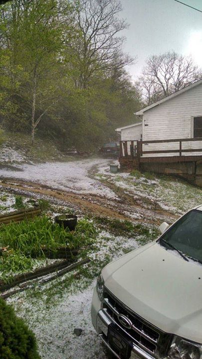
Photo: Mary Jo Grubbs
2 hours after the first storms and the hail is still “huge” as noted by Jennifer Coffey
Visual evidence of how the mountains can cool down during/after storms, take a look at this from around the region at 6:13pm. Notice Charlotte at 90 degrees.
