






Last Updated on November 13, 2026 8:41 am
Updated 8:45 a.m., Friday, November 13. This story will be updated throughout the day as conditions change.
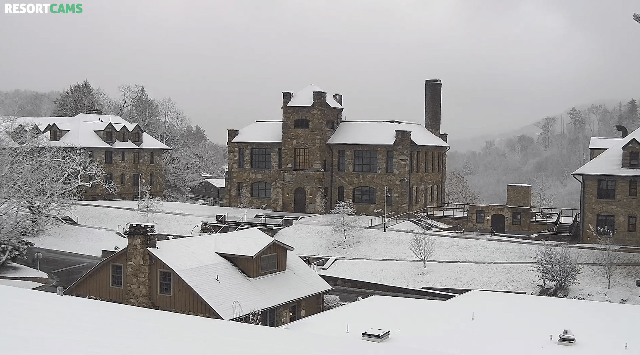
Snow showers and gusty winds are moving through the High Country today, bringing the first real taste of winter to the mountains. Flakes began falling on Beech Mountain Thursday afternoon, and by Friday morning snow was covering the Lees-McRae College campus in Banner Elk.
What the National Weather Service Is Saying
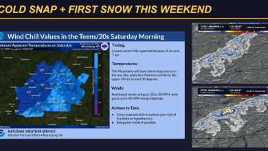
The National Weather Service in Blacksburg issued a Hazardous Weather Outlook at 3:02 a.m. Friday that includes both Watauga and Ashe counties. Light measurable snowfall is expected, with the highest elevations seeing 1 to 3 inches. Gusty northwest winds up to 30 mph will cause blowing snow that could reduce visibility at times on the roads.
Much colder air follows. Wind chills in the mid to upper teens are expected Saturday and Sunday mornings, with temperatures in the 20s. Avery County is not part of the Blacksburg outlook.
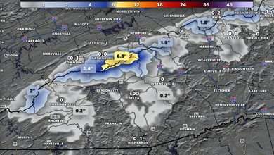
Just across the Tennessee line, the National Weather Service in Morristown has a Winter Weather Advisory in effect for elevations above 3,000 feet, including Johnson and Southeast Carter counties, until 7 a.m. Saturday. Snow totals of 1 to 4 inches are expected there, with gusts up to 35 mph.
Read the full outlook: Hazardous Weather Outlook for Friday, November 13.
Upslope Snow Showers Continue Through Saturday
In its 6:10 a.m. Area Forecast Discussion, the National Weather Service in Blacksburg said an upslope snow event will continue through Saturday for the western mountains, as disturbances rotating around a trough over the eastern U.S. enhance snow and rain showers. The snow showers are expected to affect only the higher terrain, and they should continue through midday Saturday before diminishing.
Ground temperatures are still fairly warm after the recent above-average temperatures, so forecasters say much of the snow that falls will likely melt. Any accumulation is expected on elevated or grassy surfaces and across the highest terrain, with up to a half inch possible in the western mountains outside the higher elevations and 1 to 3 inches possible at the highest elevations.
Colder Weekend, Warmer Next Week
Temperatures will be well below normal through the weekend, with highs in the 30s and 40s in the mountains and lows falling into the 20s Saturday and Sunday nights. Winds will gust 20 to 25 mph today and Saturday, around 20 mph Sunday, and become light by Monday. Wind chills will be in the teens and 20s Saturday and Sunday mornings, which the National Weather Service says is not a dangerous level of cold but will be a noticeable change after the mild stretch earlier this month.
A gradual warming trend begins early next week, with highs in the 50s by Tuesday and in the 60s by Thursday. No rain is expected all week.
School Closings and Delays
Avery County Schools will operate on a Remote Learning Day today, Friday, November 13, due to snow-covered roads in parts of the county. Watauga County Schools are on a regular schedule with regular bus routes, with some road exceptions, and Ashe County Schools are operating on a regular schedule, according to the district notices as of early Friday morning.
For the latest across the High Country, see our Closings and Cancellations page.
Snow Across the High Country
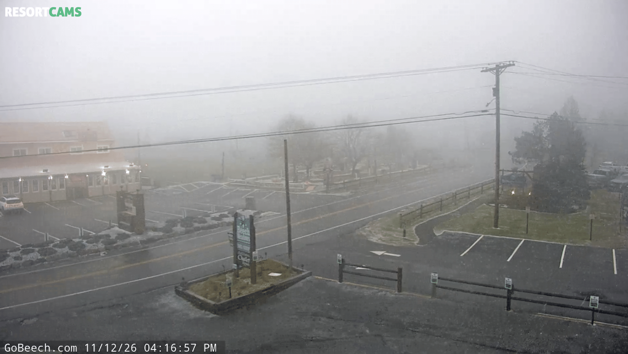
Beech Mountain, Thursday, 4:16 p.m.: It was a little hard to see through the fog, but snow was falling on Beech Mountain, with light accumulation showing on the grass, planters and parking lot edges. Photo: ResortCams
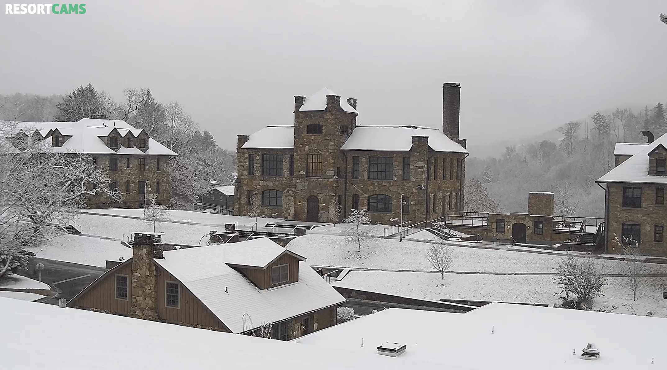
Lees-McRae College, Banner Elk, Friday, 7:25 a.m.: A fresh blanket of snow covered the rooftops, lawns and trees around the historic stone buildings on campus. Photo: ResortCams
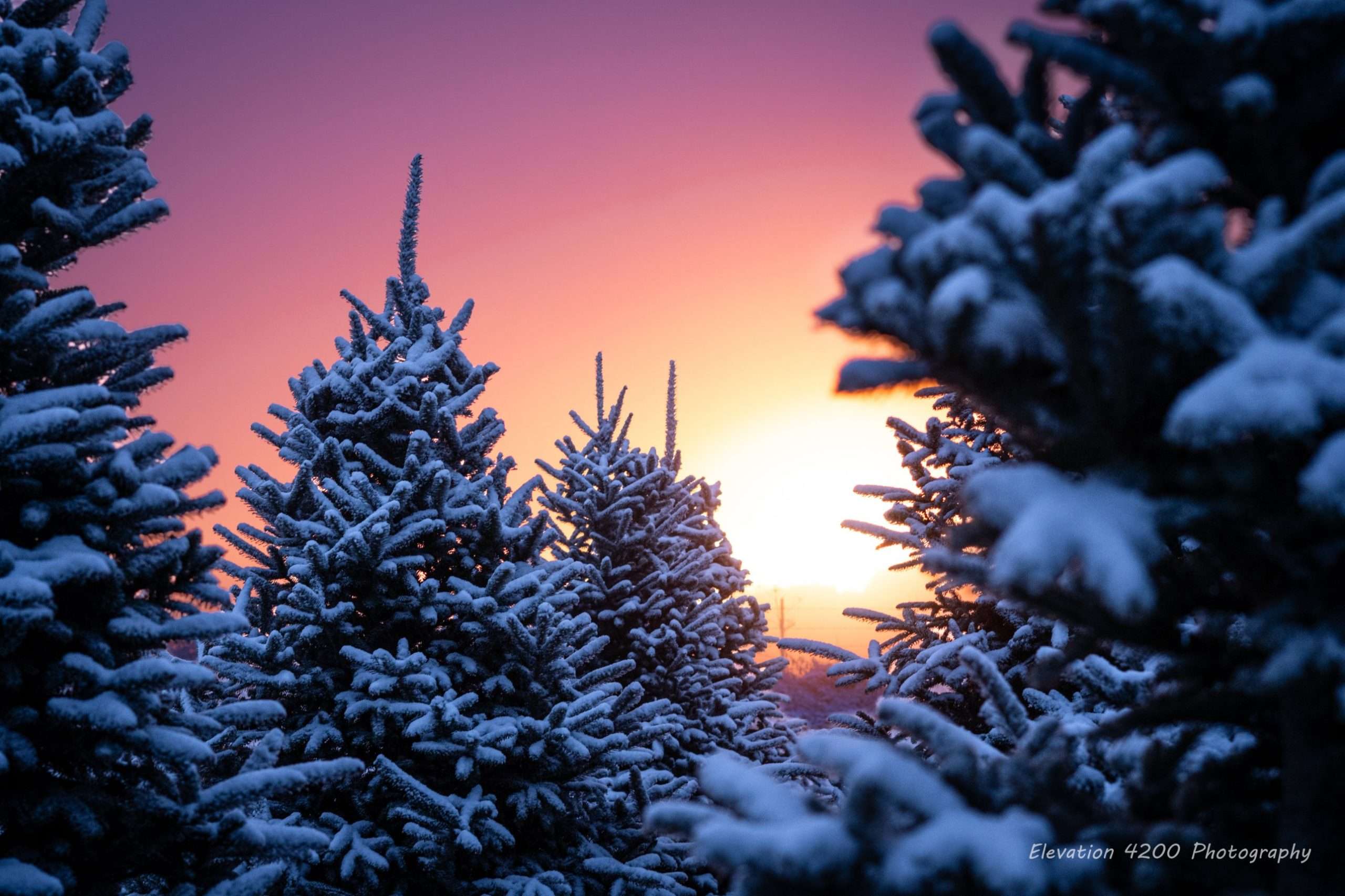
Junaluska Road, Friday sunrise: Joe Dombrosky of Elevation 4200 Photography captured the sun rising over the hill across snow-capped Christmas trees at a tree farm on Junaluska Road. Photo: Joe Dombrosky | Elevation 4200 Photography
If You’re Heading Out
Give yourself extra time today. Watch for slick spots, especially on bridges, overpasses and shaded stretches, and for blowing snow that can reduce visibility quickly at the higher elevations.
Share Your Snow Photos
Seeing snow where you are? Share your photos in the comments on the WataugaOnline Facebook page, and we may include them in this story.
Forecast courtesy of the National Weather Service