Last Updated on January 4, 2021 6:24 pm
2020 will be remembered more for the COVID-19 pandemic than anything else, but it is also set a local weather mark.
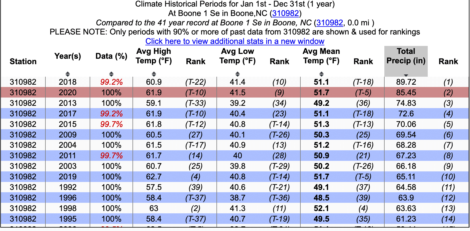
The year became the second all time wettest year when the clock turned into the new year. 84.45 inches of precipitation was recorded officially at the Boone 1 SE weather station, moving past the 82.79 inches recorded in 1979. 76.36 inches in 1949 is now the fourth overall tally since weather records for Boone started in 1929.
The normal precipitation total is 52.66 inches, with the lowest of 39.37 inches in 1943 and 39.38 inches in 1981.
Calendar year 2018 became the wettest year on record after recording 93.42 inches of precipitation.
Weather records for Boone have been kept by three different official weather stations since 1929. The reporting station from 1929 to 1980 has some years with incomplete/missing data which could mean much higher totals. As an example, the year of the great flood, 1940 yearly total only shows 56.97 inches. 77 days of data are missing for that year. The Boone 1 SE reporting station is the current official station for precipitation and temperature records and has been recording data since June 1980. The Watauga Medical Center reporting station is used for wind records.
Graphic: Southeast Regional Climate Center. It should be noted this graphic does not show the complete data for 2018, that data can be found at this link.
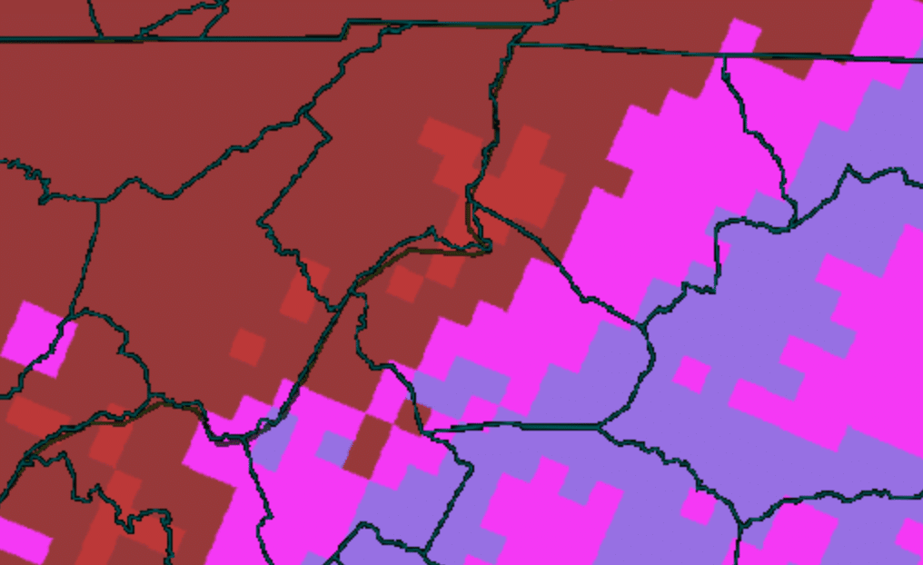
2020 Observed rainfall Watauga County and the High Country. Graphics: National Weather Service

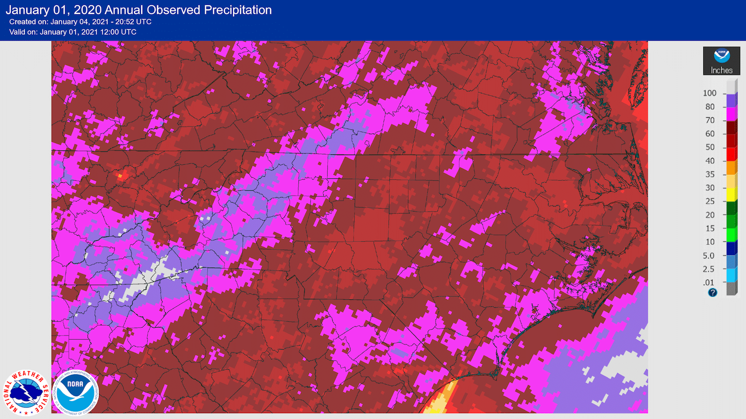
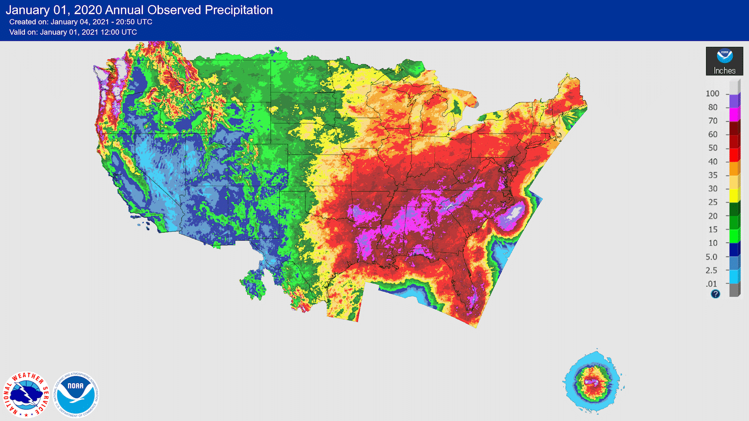
2020 Observed rainfall nationwide
