Last Updated on February 20, 2016 1:15 pm
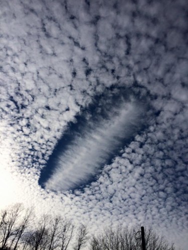
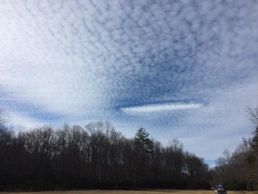
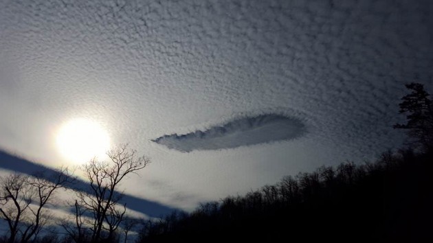
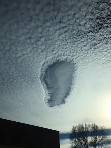
Residents across the county noticed a quite unusual sight in the sky on Friday afternoon, leading some to ask on social media what is it and how does it happen.
WataugaOnline.com turned to Brad Panovich, Chief Meteorologist for NBC Charlotte, to explain: “These fall streak or hole punch clouds can form 2 ways. From precipitation from clouds above this layer. Or as in this case an airplane flying through the cloud layer. The cloud layer is made up of tiny ice crystals or super cooler water droplets. They are just waiting for something to start condensation, which we call a condensation nucleui. So the plane starts a chain reaction of precipitation which then falls out rapidly and dries up a hole in the cloud.”
Below are several photos as sent into the Watauga Roads and Weather Facebook page.
