


Last Updated on January 31, 2021 1:59 pm
NCZ001>006-018>020-VAZ007-009>020-022>024-032>035-043>047-058-059-
WVZ042-044-507-011300-
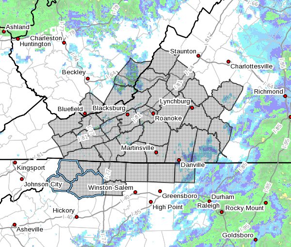
Ashe-Alleghany NC-Surry-Stokes-Rockingham-Caswell-Watauga-Wilkes-
Yadkin-Tazewell-Smyth-Bland-Giles-Wythe-Pulaski-Montgomery-
Grayson-Carroll-Floyd-Craig-Alleghany VA-Bath-Roanoke-Botetourt-
Rockbridge-Patrick-Franklin-Bedford-Amherst-Henry-Pittsylvania-
Campbell-Appomattox-Buckingham-Halifax-Charlotte-Mercer-Monroe-
Eastern Greenbrier-
Including the cities of West Jefferson, Sparta, Dobson, Danbury,
Eden, Yanceyville, Boone, Wilkesboro, Yadkinville, Tazewell,
Marion, Bland, Pearisburg, Wytheville, Radford, Pulaski,
Blacksburg, Independence, Whitetop, Troutdale, Volney, Galax,
Floyd, New Castle, Clifton Forge, Covington, Hot Springs,
Roanoke, Salem, Fincastle, Lexington, Buena Vista, Stuart,
Rocky Mount, Bedford, Amherst, Martinsville, Danville, Lynchburg,
Appomattox, South Boston, Keysville, Bluefield, Flat Top, Union,
Lewisburg, White Sulphur Springs, and Alderson
155 PM EST Sun Jan 31 2021
…Potential for Black Ice through Morning Rush Hour…
Freezing fog is expected to develop beginning this afternoon and
lasting into Monday morning. This fog along with any lingering
moisture and slush on area roads and sidewalks will freeze as
temperatures hover around freezing. This may result in slick
spots or patchy black ice. Use caution while driving.


