Last Updated on November 26, 2011 10:33 am
Forecasters to talk about our snow possibility this weekend and the start of next week.
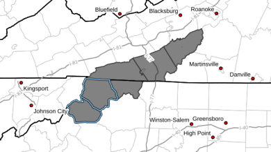
John L'Heureux of L'Heureux's Weather forecast “Tuesday morning (Monday night for areas south of Asheville) through Tuesday night, the snow coming in is very elevation dependent. Western AND eastern slopes are about equal for snow chances, although higher peaks farther south will luck out with more snow.
Snowfall amounts: Boone and everyone below 3500′ – a dusting
3500′ – 5000” – a dusting to 1 (the higher amount are farther south)”
Above 5000′ – 1-2″ (farther south more than 2″)
The highest peaks (above 5500′) can see up to 6″ of snow. I wouldn't be at all surprised if some peaks in the Smoky Mountains get more than 6″.”
Check out L'Heureux's Weather on facebook.
Brad Panovich weighs in via twitter “Still thinking 2-4″ of snow in the mountains, but now mainly on Tues. 2″ down in valleys including Boone, 4″ at higher elevations.”
The National Weather Service forecast calls for sunny today, rain tonight-Monday, then rain and snow on Tuesday into Wednesday.


