
Last Updated on December 21, 2022 3:11 pm
NCZ001-002-018-VAZ007-009>020-WVZ042>044-507-508-220245-
/O.NEW.KRNK.WC.A.0001.221223T1100Z-221224T1800Z/
/O.CON.KRNK.WW.Y.0016.221222T0000Z-221222T1800Z/
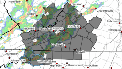
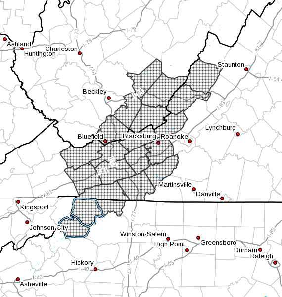
Ashe-Alleghany NC-Watauga-Tazewell-Smyth-Bland-Giles-Wythe-
Pulaski-Montgomery-Grayson-Carroll-Floyd-Craig-Alleghany VA-Bath-
Mercer-Summers-Monroe-Eastern Greenbrier-Western Greenbrier-
Including the cities of West Jefferson, Sparta, Boone, Tazewell,
Marion, Bland, Pearisburg, Wytheville, Radford, Pulaski,
Blacksburg, Independence, Whitetop, Troutdale, Volney, Galax,
Floyd, New Castle, Clifton Forge, Covington, Hot Springs,
Bluefield, Hinton, Hix, Union, Lewisburg, White Sulphur Springs,
Quinwood, Duo, and Rainelle
138 PM EST Wed Dec 21 2022
…WINTER WEATHER ADVISORY REMAINS IN EFFECT FROM 7 PM THIS
EVENING TO 1 PM EST THURSDAY…
…WIND CHILL WATCH IN EFFECT FROM FRIDAY MORNING THROUGH
SATURDAY AFTERNOON…
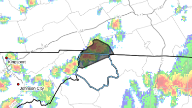
- WHAT…For the Winter Weather Advisory, mixed precipitation
expected. Total snow accumulations of up to one inch and ice
accumulations of around one tenth of an inch. For the Wind
Chill Watch, dangerously cold wind chills possible. Wind
chills as low as 30 below zero. - WHERE…Portions of northwest North Carolina, southwest and
west central Virginia and southeast West Virginia. - WHEN…For the Winter Weather Advisory, from 7 PM this evening
to 1 PM EST Thursday. For the Wind Chill Watch, from Friday
morning through Saturday afternoon. - IMPACTS…Plan on slippery road conditions. The hazardous
conditions could impact the morning or evening commute. Strong
winds could cause extensive damage to trees and power lines.
The cold wind chills could cause frostbite on exposed skin in
as little as 30 minutes. - ADDITIONAL DETAILS…Wind gusts on Friday are expected to be
between 30 and 50 mph. Winds this strong may result in downed
trees and power lines, which may cause power outages while
temperatures are extremely cold.
PRECAUTIONARY/PREPAREDNESS ACTIONS…
Slow down and use caution while traveling.
Monitor the latest forecasts for updates on this situation.
The latest road conditions for the state you are calling from can
be obtained by calling 5 1 1.