


Last Updated on November 14, 2023 8:57 am
NCZ001>006-018>020-VAZ007-009>020-022>024-032>035-043>047-058-059-
WVZ042>044-507-508-142300-
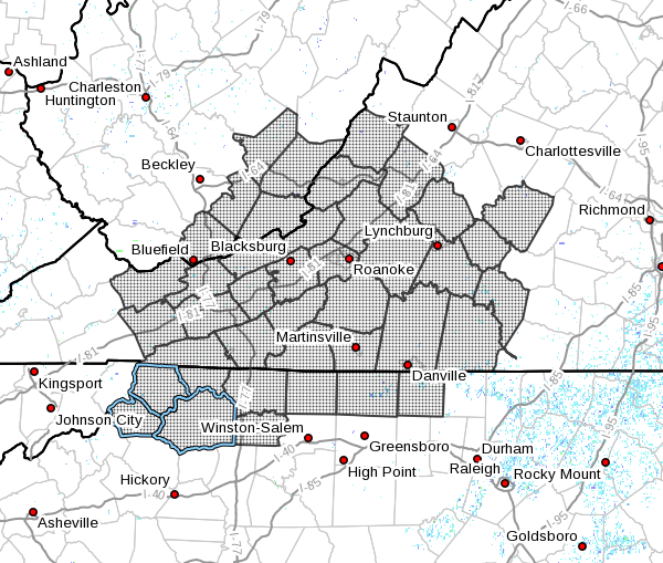
Ashe-Alleghany NC-Surry-Stokes-Rockingham-Caswell-Watauga-Wilkes-
Yadkin-Tazewell-Smyth-Bland-Giles-Wythe-Pulaski-Montgomery-
Grayson-Carroll-Floyd-Craig-Alleghany VA-Bath-Roanoke-Botetourt-
Rockbridge-Patrick-Franklin-Bedford-Amherst-Henry-Pittsylvania-
Campbell-Appomattox-Buckingham-Halifax-Charlotte-Mercer-Summers-
Monroe-Eastern Greenbrier-Western Greenbrier-
Including the cities of West Jefferson, Sparta, Dobson, Danbury,
Eden, Yanceyville, Boone, Wilkesboro, Yadkinville, Tazewell,
Marion, Bland, Pearisburg, Wytheville, Radford, Pulaski,
Blacksburg, Independence, Whitetop, Troutdale, Volney, Galax,
Floyd, New Castle, Clifton Forge, Covington, Hot Springs,
Roanoke, Salem, Fincastle, Lexington, Buena Vista, Stuart,
Rocky Mount, Bedford, Amherst, Martinsville, Danville, Lynchburg,
Appomattox, South Boston, Keysville, Bluefield, Flat Top, Hinton,
Hix, Union, Lewisburg, White Sulphur Springs, Alderson, Quinwood,
Duo, and Rainelle
849 AM EST Tue Nov 14 2023
…ENHANCED FIRE DANGER TODAY…
Very low humidities this afternoon, along with ongoing drought
conditions will lead to an elevated fire danger risk today.
Humidity values will drop as low as 10 to 20 percent. Winds will
be from the north to northeast at 5 to 10 mph.
Please refer to your local burn permitting authorities on whether
you can burn. If you do burn, use extreme caution since fires can
quickly get out of hand under these conditions.


