


Last Updated on February 4, 2021 4:12 pm
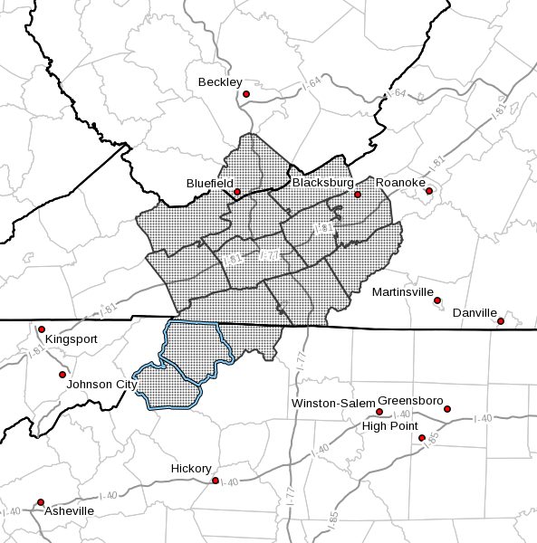
NCZ001-002-018-VAZ007-009>017-WVZ042-050200-
Ashe-Alleghany NC-Watauga-Tazewell-Smyth-Bland-Giles-Wythe-
Pulaski-Montgomery-Grayson-Carroll-Floyd-Mercer-
Including the cities of West Jefferson, Sparta, Boone, Tazewell,
Marion, Bland, Pearisburg, Wytheville, Radford, Pulaski,
Blacksburg, Independence, Whitetop, Troutdale, Volney, Galax,
Floyd, Bluefield, and Flat Top
406 PM EST Thu Feb 4 2021
…Some Sleet and Freezing Rain Possible This Evening and
Tonight…
A band of light precipitation will bring a period of light rain
and possibly some sleet or a very light glaze of freezing rain to
the region this evening. This may create a few slick spots on
untreated bridges, overpasses, and walkways during the evening
commute mainly west of Interstate 77. Steadier precipitation will
arrive later tonight with additional period of sleet and freezing
rain expected.
Anyone traveling should be alert for potential slick spots due to
sleet and freezing rain. Use caution and slow down when driving
over bridges and overpasses. Use railings when possible on
walkways.


