Last Updated on August 10, 2022 12:28 pm
NCZ018-101645-
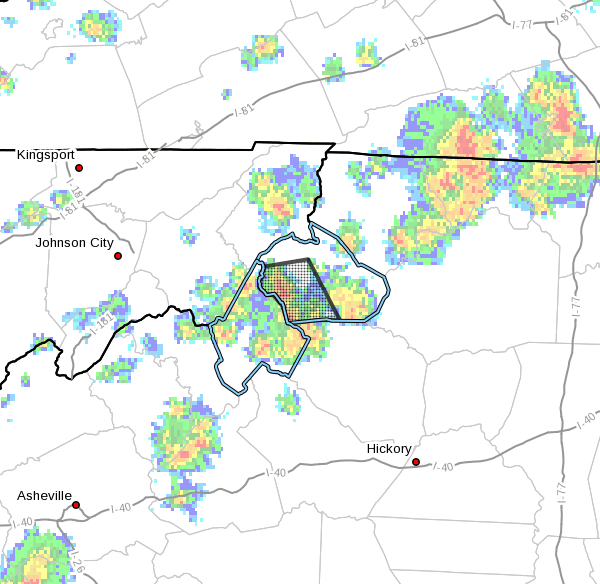
Watauga-
1222 PM EDT Wed Aug 10 2022
…A STRONG THUNDERSTORM WILL AFFECT
SOUTHWESTERN WATAUGA COUNTY…
At 1221 PM EDT, a strong thunderstorm was located over Rominger, or
near Beech Mountain, moving east at 10 mph.
Winds in excess of 30 mph and pea size hail are possible with this
storm.
Locations impacted include…
Boone…
Blowing Rock…
Beech Mountain…
Foscoe…
Sugar Grove.
Locally heavy rain will quickly reduce visibility and result in
ponding of water on roadways, standing water in low lying areas, and
minor flooding of creeks, streams, and areas of poor drainage.
Drivers are urged to slow down and use extra caution to avoid
hydroplaning.