








Last Updated on November 14, 2026 6:46 am
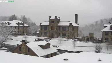
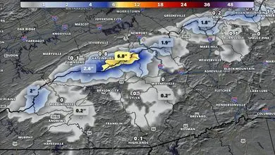
Snow showers are winding down and gusty winds are leading to a cold start across the High Country today. The National Weather Service in Blacksburg issued this Hazardous Weather Outlook at 4:15 a.m. Saturday, and it includes both Watauga and Ashe counties.
Today and Tonight
Snow showers should come to an end by the mid morning hours across mountain locations. Gusty northwest winds up to 30 mph are expected, leading to wind chills in the low 20s this morning.
Sunday Through Friday
Wind chills in the low 20s are expected Sunday morning, due to the gusty winds and cold temperatures in the 20s and 30s.
Counties Included
Watauga and Ashe counties in northwest North Carolina are both included in this outlook. It also covers Tazewell, Smyth, Bland and Grayson counties in southwest Virginia, and Mercer, Summers and Western Greenbrier counties in southeast West Virginia. Avery County is not part of the Blacksburg outlook.
Storm Spotters
The National Weather Service says spotter activation is not expected at this time.
Forecast courtesy of the National Weather Service