Last Updated on March 27, 2021 1:05 pm
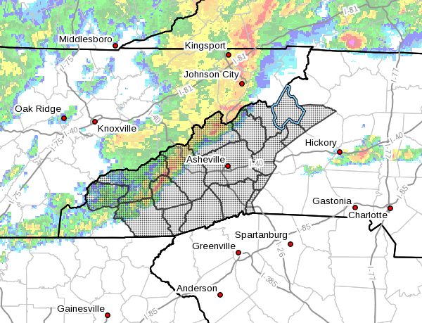
…MULTIPLE ROUNDS OF HEAVY RAIN DUE TO THUNDERSTORMS THIS AFTERNOON THROUGH SUNDAY ACROSS THE MOUNTAINS OF NORTH CAROLINA… .Several rounds of thunderstorms will develop along a warm front this evening and ahead of a cold front Sunday across the mountains of North Carolina. River and stream levels are already at elevated levels or currently experiencing flooding conditions. The additional high rainfall amounts associated with thunderstorms will likely produce new areas of flash flooding.
NCZ033-048>053-058-059-062>065-501-503-505-507-509-280100-
/O.NEW.KGSP.FF.A.0002.210327T1650Z-210329T0000Z/
/00000.0.ER.000000T0000Z.000000T0000Z.000000T0000Z.OO/
Avery-Madison-Yancey-Mitchell-Swain-Haywood-Buncombe-Graham-
Northern Jackson-Macon-Southern Jackson-Transylvania-Henderson-
Caldwell Mountains-Burke Mountains-McDowell Mountains-
Rutherford Mountains-Polk Mountains-
Including the cities of Ingalls, Banner Elk, Newland, Faust,
Mars Hill, Marshall, Walnut, Allenstand, Hot Springs, Luck,
Swiss, Burnsville, Celo, Micaville, Ramseytown, Busick,
Spruce Pine, Poplar, Alarka, Almond, Bryson City, Luada, Wesser,
Waynesville, Waterville, Canton, Cruso, Cove Creek, Asheville,
Black Mountain, Candler, Robbinsville, Stecoah, Cullowhee,
Tuckasegee, Sylva, Franklin, Rainbow Springs, Kyle, Highlands,
Wolf Mountain, Cashiers, Brevard, Cedar Mountain, Little River,
Hendersonville, Fletcher, Dana, East Flat Rock, Tuxedo, Etowah,
Patterson, Jonas Ridge, Ashford, Sugar Hill, Woodlawn, Old Fort,
Chimney Rock State Park, and Saluda
1250 PM EDT Sat Mar 27 2021
…FLASH FLOOD WATCH IN EFFECT THROUGH SUNDAY EVENING…
The National Weather Service in Greenville-Spartanburg has issued
a
- Flash Flood Watch for a portion of western North Carolina,
including the following areas, Avery, Buncombe, Burke
Mountains, Caldwell Mountains, Graham, Haywood, Henderson,
Macon, Madison, McDowell Mountains, Mitchell, Northern
Jackson, Polk Mountains, Rutherford Mountains, Southern
Jackson, Swain, Transylvania, and Yancey. - Through Sunday evening
- Elevated stream levels and high soil moisture combined with
additional heavy rainfall could efficiently produce flash
flooding conditions. - Mountain terrain will become increasingly saturated with the
rain through Sunday. Heavy runoff could trigger isolated
landslides.
PRECAUTIONARY/PREPAREDNESS ACTIONS…
A Flash Flood Watch means that conditions may develop that lead
to flash flooding. Flash flooding is a very dangerous situation.
You should monitor later forecasts and be prepared to take action
should Flash Flood Warnings be issued.