Last Updated on January 2, 2012 9:37 am
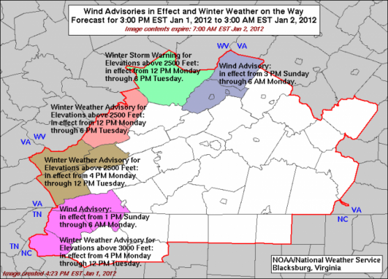
Not only is the High Country gearing up for the first snow of 2012, but it could be the first real snow of winter. Snowfall from our previous three snows melted almost as fast as it fell, this one could be different. Here's the forecast from NWS and L'Heureux's Weather and Brad Panovich.
NWS forecast: Today…Mostly sunny with a slight chance of snow showers this morning…then mostly cloudy with a chance of snow showers this afternoon. Snow accumulation up to 1 inch possible. Blustery and much cooler. Near steady temperature in the mid 20s. West winds 15 to 25 mph with gusts up to 45 mph. Chance of snow 50 percent. Wind chill values as low as 5 above.
Tonight…Snow showers likely. Snow accumulation around an inch. Blustery and colder with lows around 10 above. Northwest winds 20 to 25 mph with gusts up to 45 mph. Chance of snow 70 percent. Wind chill values as low as 8 below after midnight.
Tuesday…Partly sunny. A chance of snow showers…mainly in the morning. Additional snow accumulation up to 1 inch possible. Blustery with highs in the lower 20s. Northwest winds 20 to 25 mph with gusts up to 50 mph. Chance of snow 50 percent. Wind chill values as low as 9 below in the morning.
L'Heureux's Weather:-Northwest flow snow showers are starting up this morning, continuing through January 3rd. Once the wind direction shifts to the northwest, the moisture plumes coming off the Great Lakes will start turning up some upslope flow snow showers.
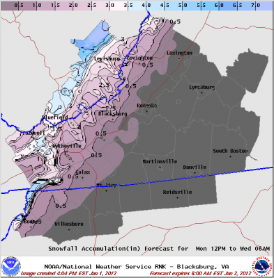
It isn't a perfect setup, as the West Virginia Mountains will get more snowfall and will be within the moisture plume longer and the NC mountains get a glancing blow. There will be a dusting to 2″ of snow for the eastern part of the High Country, 2-4″ for the middle portions of the High Country, and 4″+ for the western slopes/higher elevations along the NC/TN line. Overall, most of us will be within the 2-4″ range.
*Forecast courtsey of John L'Heureux. Check out more of John's work here and Facebook
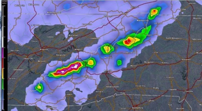
Brad Panovich tweeted the NAMM model that shows over a foot possible in the smokies above 3500′, 4-5″ near the TN line elsewhere


